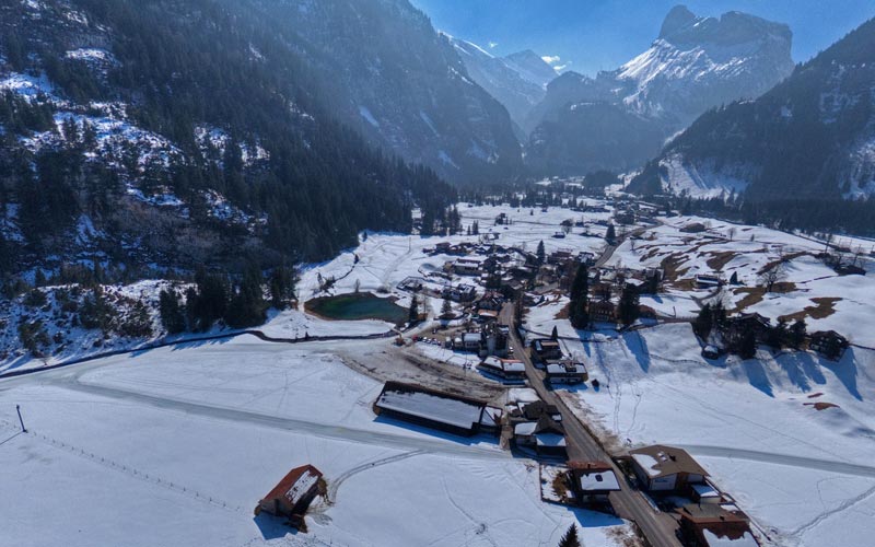
Kandersteg with the “Muggeseeli”
Kandersteg is a municipality in the Frutigen-Niedersimmental administrative district in the canton of Bern in Switzerland.
Kandersteg is first mentioned, together with Kandergrund, in 1352 as der Kandergrund.
Kandersteg is located on the northern side of the Bernese Alps at an altitude of 1,200 meters (3,900 ft) above sea level at the foot of the Lötschen and Gemmi Passes. The village, with 1200 inhabitants, lies in the upper Kander Valley. The municipality extends over a territory encompassing the valleys of Gastern (upper Kander Valley) and Oeschinen. It includes the villages of Kandersteg and Gastern.
Impressions from the panorama flight in Kandersteg on March 21th 2016
Danke für die Blumen 😉